About me · Career journeyHRHanis RashidanPortfolio 2026
From research to industry.

Research Officer

GIS Programmer

Data Scientist

Lead Data Scientist

Solution Architect

Solution Architect
Energy · GRID · DistributionHRHanis RashidanPortfolio 2026
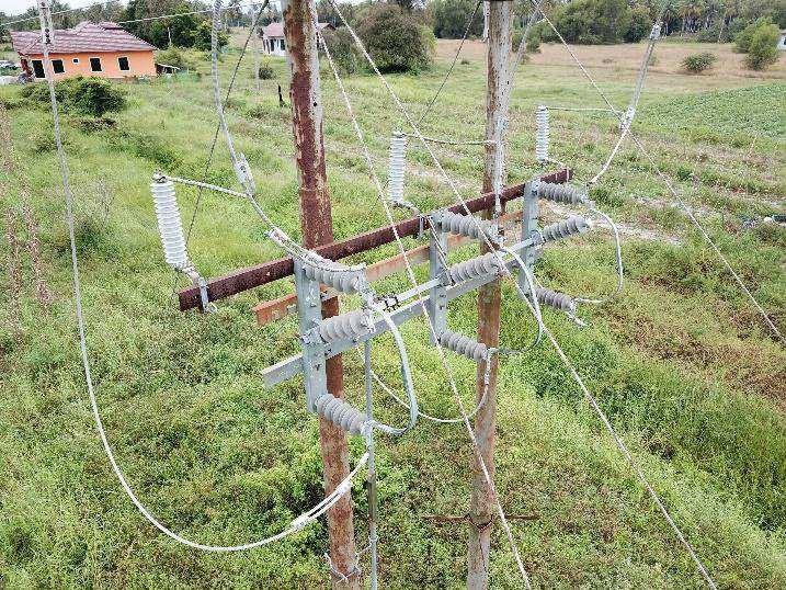 VISUAL
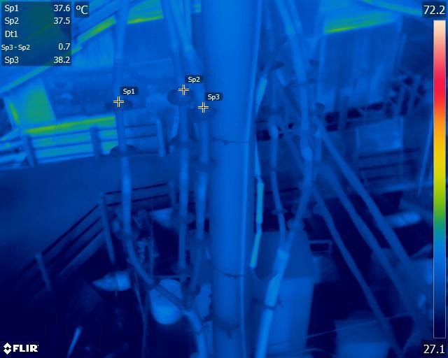
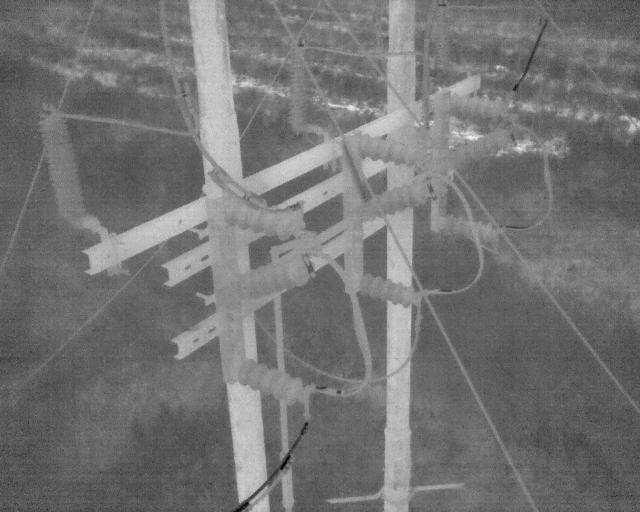 THERMAL
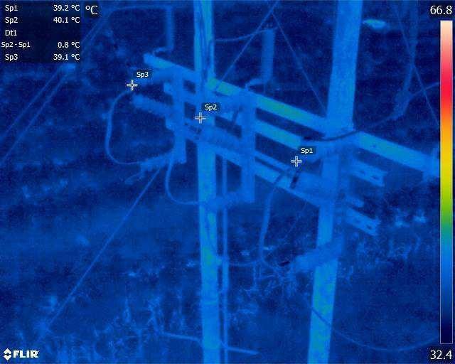
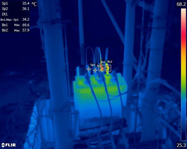
See the heat before the fault.
Each pole is captured twice from the same angle, as a normal photo and a thermal image. A hot spot shows exactly which part the maintenance team should fix.
Energy · LiDAR · Transmission towers
Every span, measured in 3D.
A LiDAR point cloud of the whole corridor: towers, conductors and the trees growing toward them.
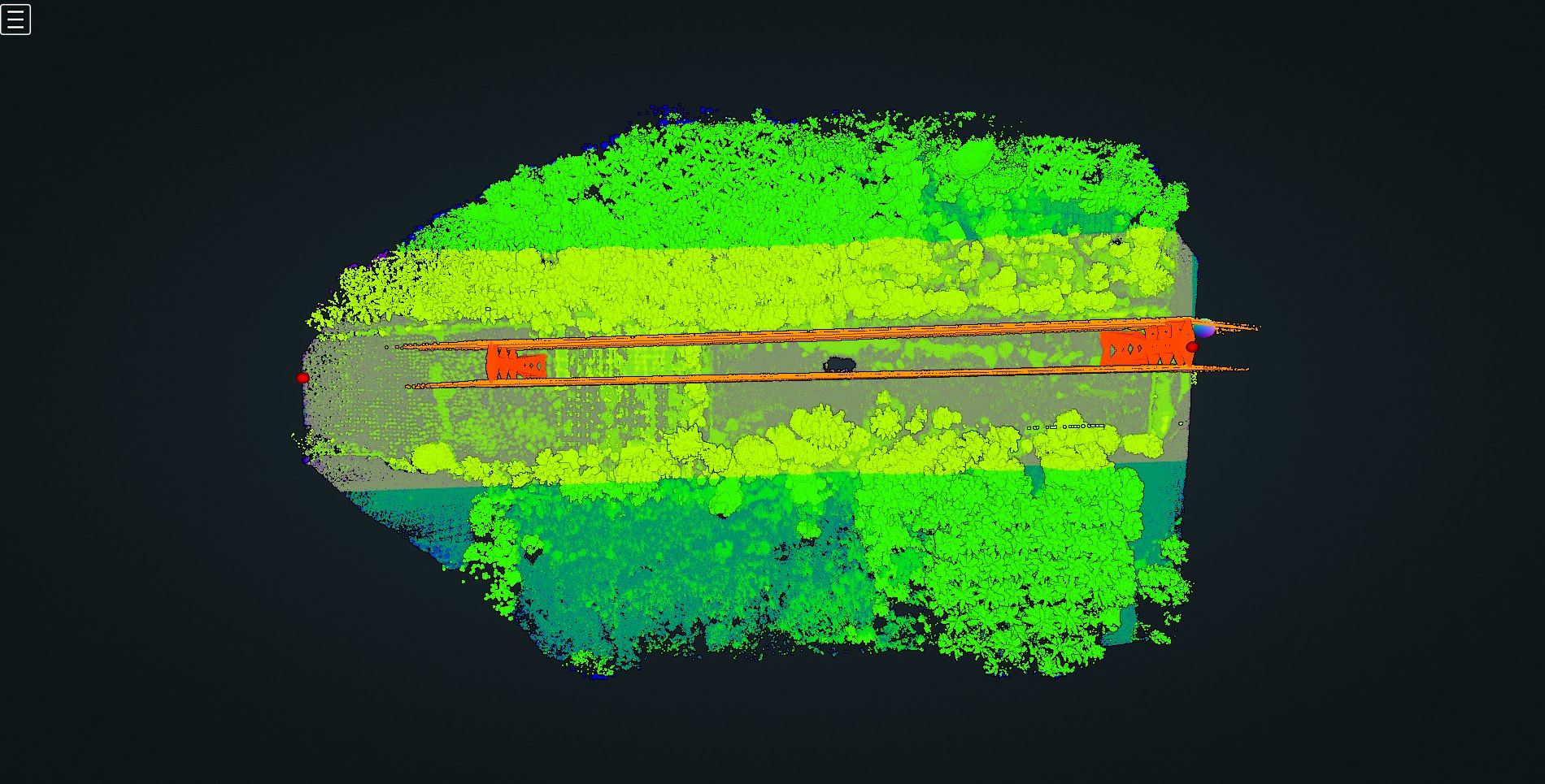
Right-of-wayCorridor clearance along the line
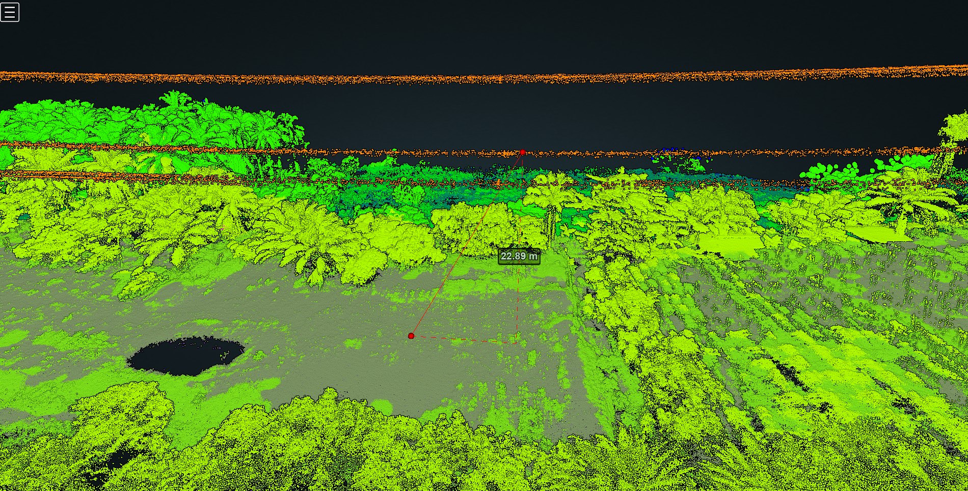
SaggingConductor height above ground
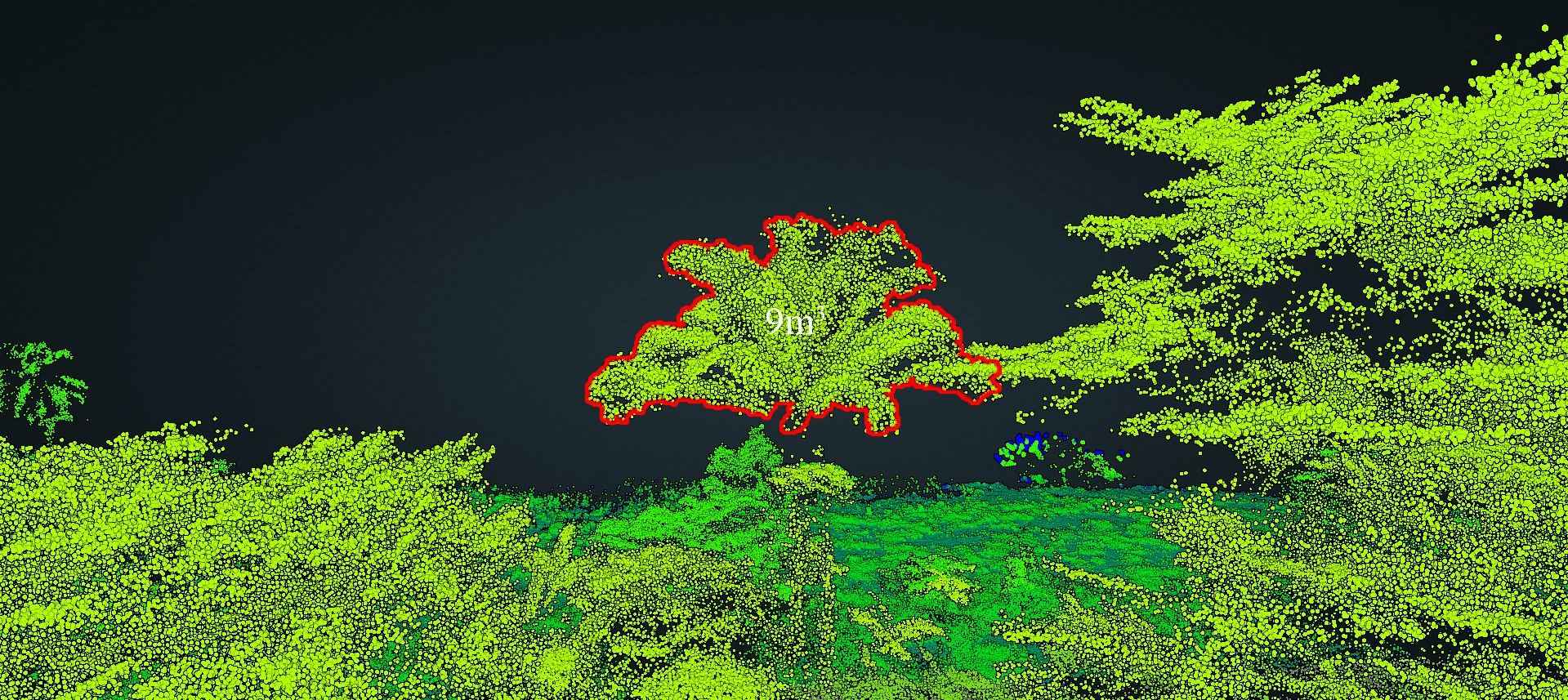
Canopy sizeTree crowns near the line
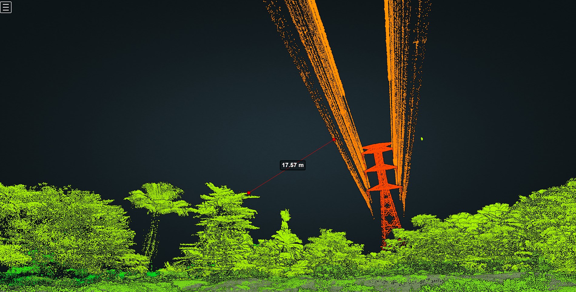
Point-to-pointDistance between any two points
Moments · On stage, in class, in the fieldHRHanis RashidanPortfolio 2026
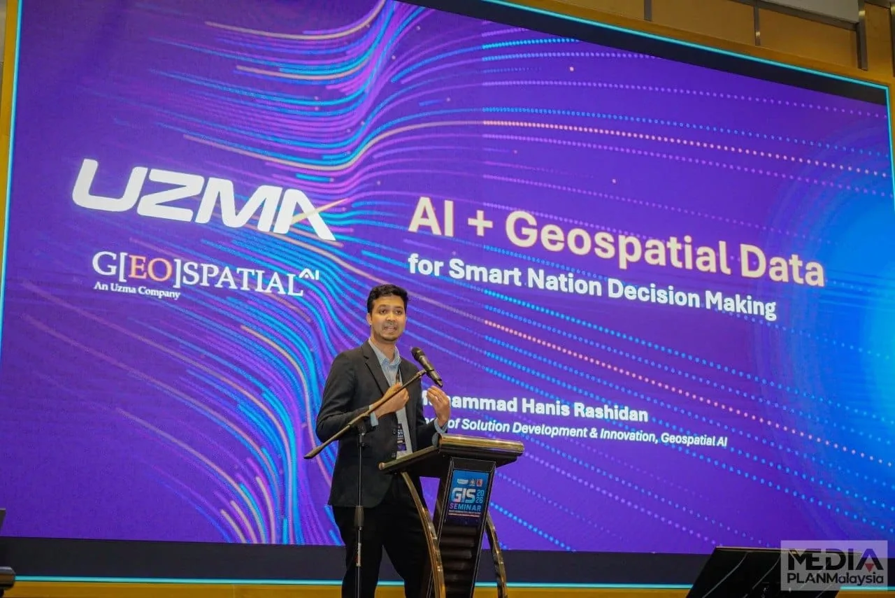
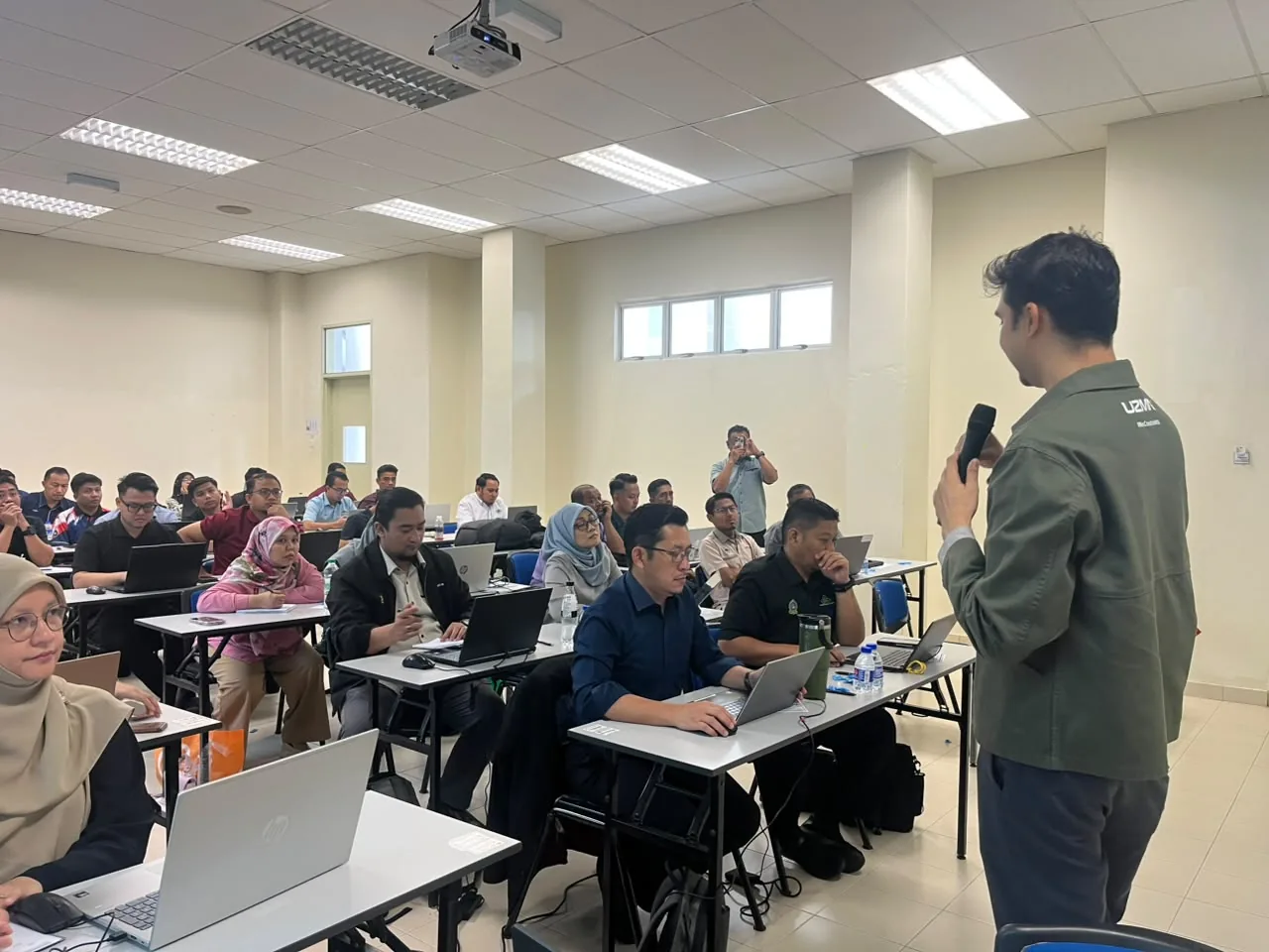
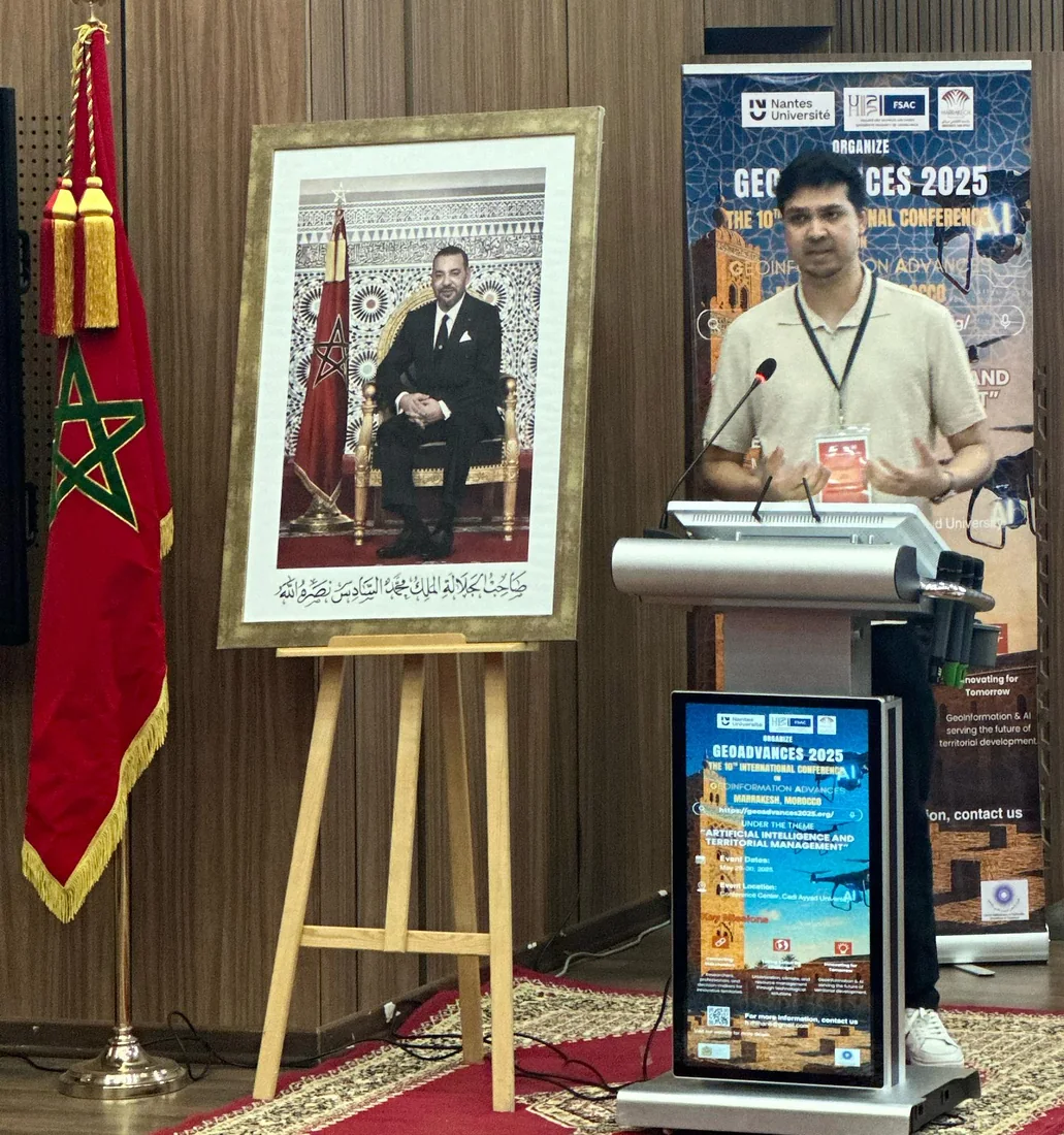
Moments along the way.
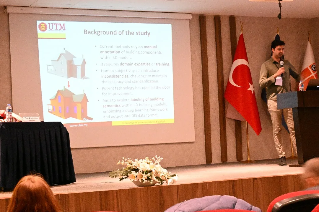
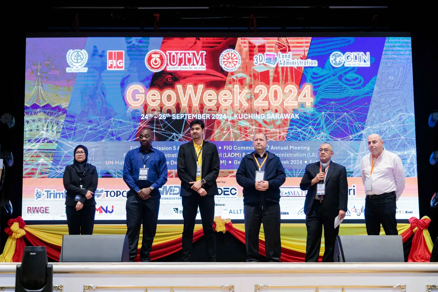
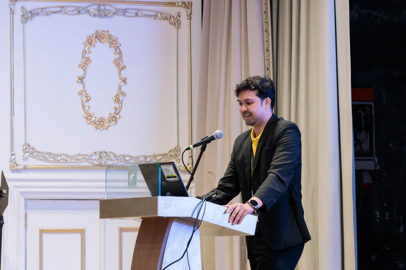
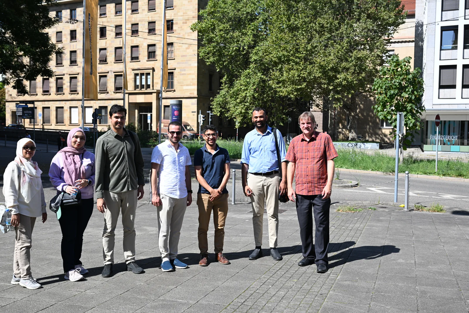
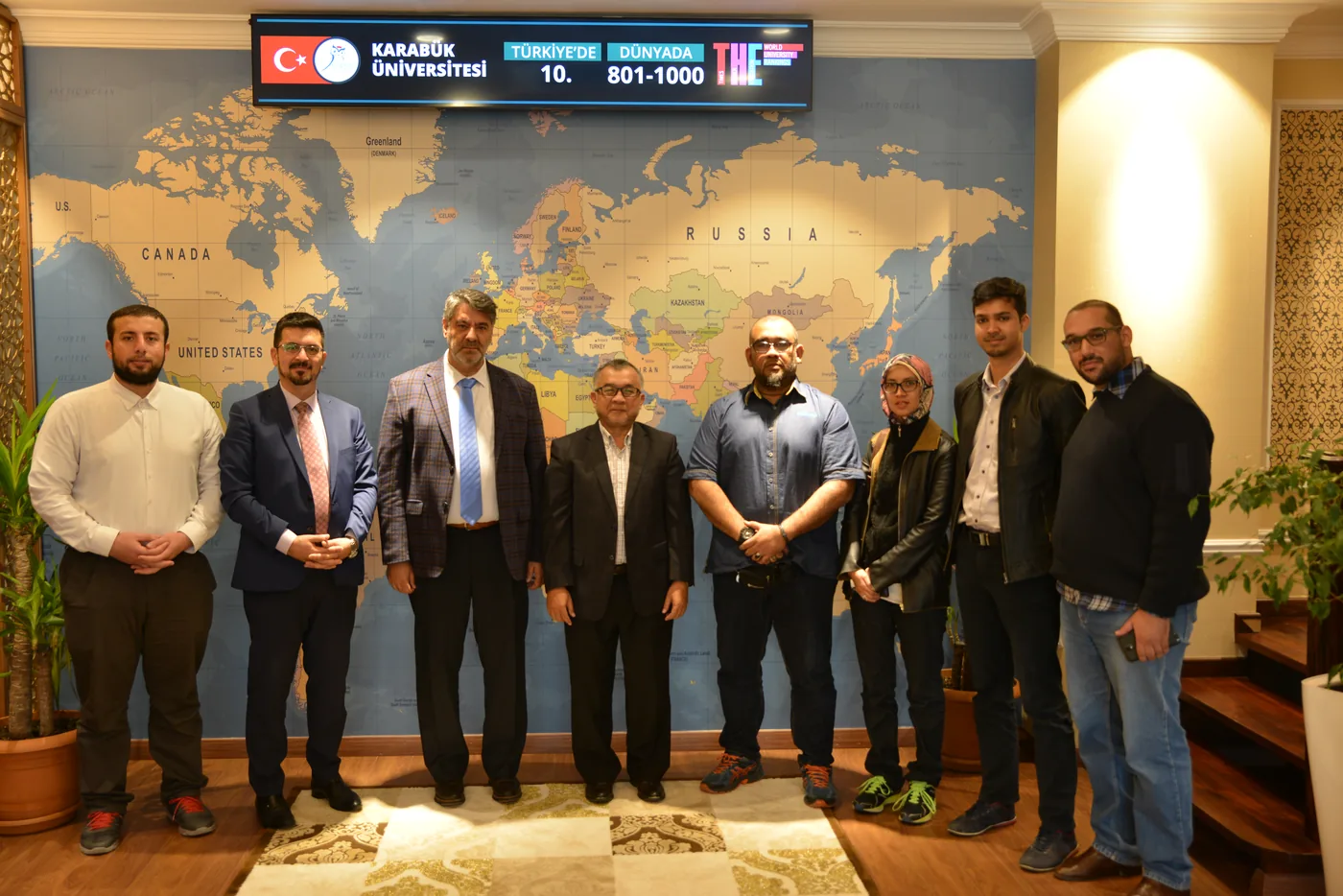
Talks, workshops and conferences, from Malaysia to Türkiye, Morocco and Germany.

→nextFfull screen